
Plan
How to get to Pirenópolis: by car, bus and plane
An overview of the ways in: highways, scheduled buses, the Brasília and Goiânia airports and the local airfield.
Updated on October 4, 2026 ✓ Information checked on October 4, 2026 adapted from the Portuguese original
Pirenópolis lies in east-central Goiás, a state in central Brazil, between the region’s two capitals. According to the City Hall’s Tourism Portal, the town is about 150 km from Brasília (Brazil’s capital) and 120 km from Goiânia (the capital of Goiás). That makes it a classic weekend getaway for people living in the Federal District and Greater Goiânia — and an easy side trip if you fly into either city.
By car
This is the most common way to arrive and the most practical if you want to visit the waterfalls, which lie outside town. The highways serving the municipality appear in the official addresses of accommodation and attractions: GO-225 (towards Corumbá de Goiás), GO-338 (towards Goianésia), GO-431 (Rodovia Jarbas Jayme, linking to Anápolis and the BR-153), BR-414 and BR-070. “GO” roads are state highways; “BR” roads are federal highways.
| From | Approximate distance | Detailed guide |
|---|---|---|
| Brasília (Federal District) | ~150 km | Brasília to Pirenópolis |
| Goiânia (Goiás) | ~120 km | Goiânia to Pirenópolis |
| Anápolis (Goiás) | about 1 hour by road | via GO-431 or GO-338 |
By bus
Viação Goianésia runs the interstate Brasília–Pirenópolis route; in February 2025, ANTT (Brazil’s national land transport agency) authorised the company to operate it together with the Ceres–Brasília route. Local websites also mention connections with Goiânia and Anápolis. Timetables, boarding points and fares change: check with the company before travelling.
If you arrive by bus, the historic centre is easy to explore on foot. For the waterfalls, you will need hired transport or an agency tour — see Pirenópolis without a car.
By plane
Pirenópolis has no scheduled commercial flights. The nearest commercial airports are:
- Brasília Airport (BSB) — the one with the most flights in Brazil’s Central-West region;
- Goiânia Airport (GYN, Santa Genoveva).
From either one, you can rent a car, book a transfer or take a bus from the capital’s bus station.
The town has an airfield for general aviation (ICAO code SNMH), near the GO-338. It has no scheduled flights; pilots should consult the official aeronautical publications before planning a landing.
Getting around Pirenópolis
- Historic centre: compact, with uneven stone streets; it is best to park the car and walk.
- Waterfalls and mountains: distances range from a few kilometres (such as the Bonsucesso Waterfalls, about 5 km away) to about 40 km (the Dragões Waterfalls), often with dirt-road stretches.
- In the rainy season (October to April): some dirt roads get slippery; check with the attraction before you go.
To choose when to travel, see best time to visit Pirenópolis.
Frequently asked questions
How far is Pirenópolis from Brasília?
About 150 km, according to the City Hall's Tourism Portal. Travel time depends on the route you choose and traffic leaving the Federal District (Brasília).
Does Pirenópolis have an airport?
The town has a general aviation airfield (code SNMH), with no scheduled commercial flights. If you fly in, you land in Brasília (BSB) or Goiânia (GYN) and continue by road.
Is there a bus to Pirenópolis?
Yes. Viação Goianésia runs the interstate Brasília–Pirenópolis route, authorised by ANTT (Brazil's national land transport agency). Check timetables and ticket sales directly with the company.
Keep reading
Keep planning
-
 How to get from Brasília to Pirenópolis The two driving routes from the Federal District, the scheduled bus and how to avoid holiday traffic. Read guide
-
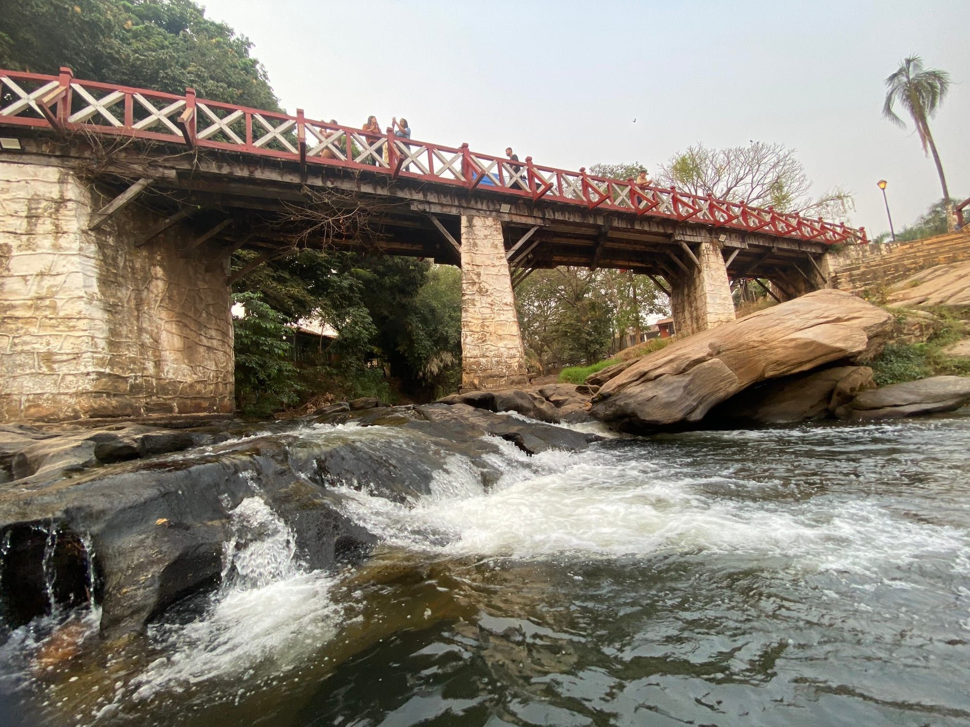 How to get from Goiânia to Pirenópolis Along the BR-060/BR-153 to Anápolis, then the GO-431 or GO-338: the most popular route from Goiás's capital. Read guide
-
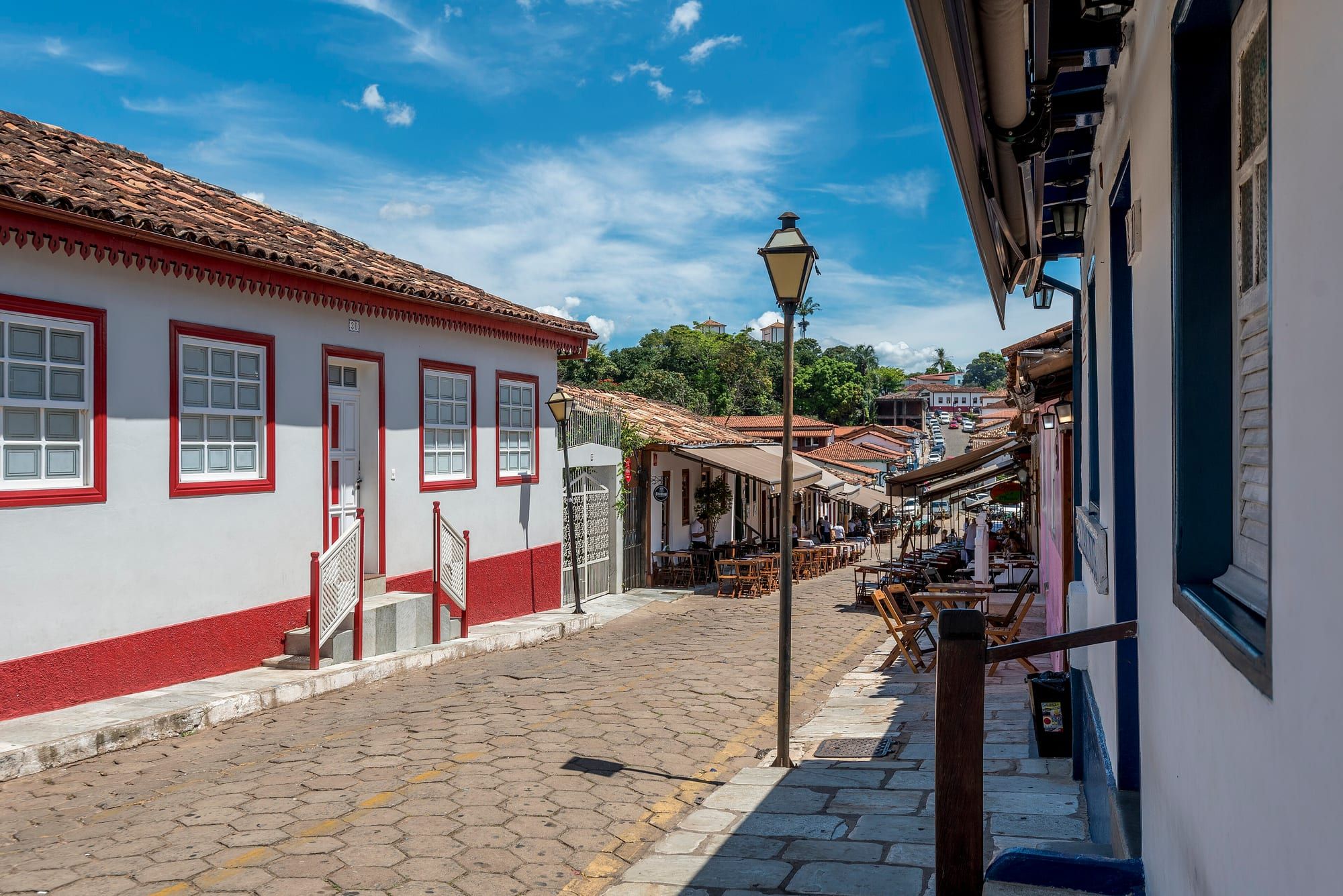 Pirenópolis without a car: enjoying the town on foot A bus to town, the historic centre on foot and agencies for the waterfalls. Read guide